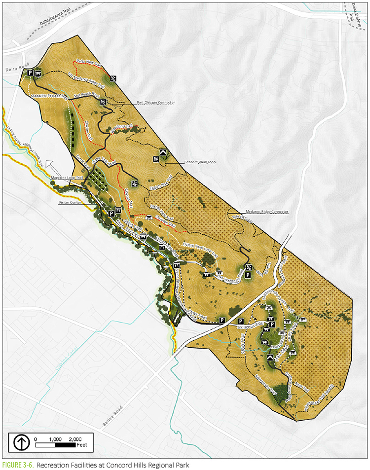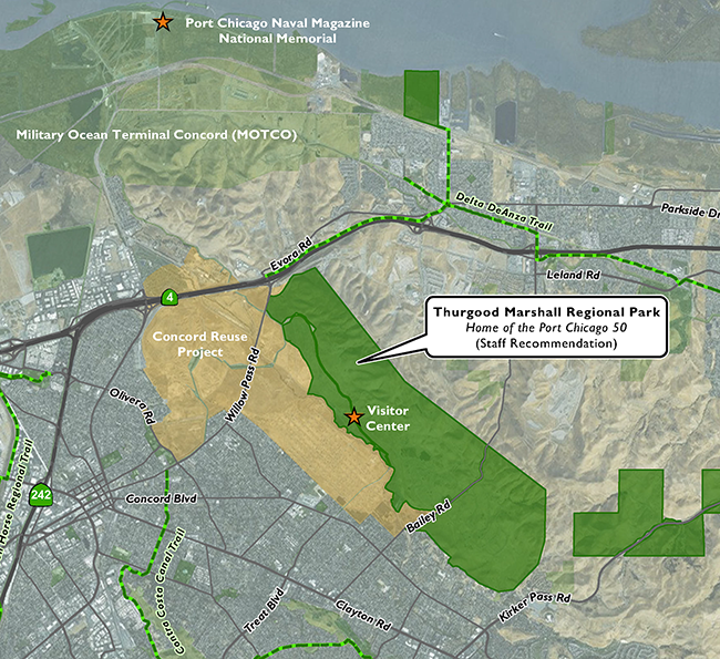
Concord regional park site map. EBRPD
Recommended by staff, advanced by district’s executive committee, and supported by Concord City Council

Proposed sign for Thurgood Marshall Regional Park name.
By Allen Payton
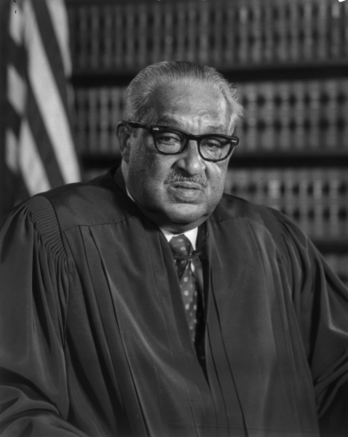
The Board of Directors for the East Bay Regional Park District will vote Tuesday, June 1 on the proposed name of Thurgood Marshall Regional Park Home of the Port Chicago 50, at the site of the former Concord Naval Weapons Station. The staff recommended the name, following a proposal made during public comments at the Sept. 3 board meeting, last year because there are no regional parks in Contra Costa County named after African Americans, and a subsequent petition signed by over 800 people to date.
However, there was little public outreach to gather input on a proposed name and only one news article about the naming it for Marshall was published last year. It wasn’t until Antioch Mayor Lamar Thorpe posted on his official Facebook page his support for the proposed name, earlier this month, that the Herald was made aware of it and other news reports were then published.
When asked about a public outreach effort on the naming of the park Director Colin Coffey mentioned the district’s website page dedicated to the matter. He also shared, “Director Dee Rosario told me that the Thurgood Marshall name arose from the initial surveys and was discussed by the executive committee at a meeting last year. He remembers himself suggesting that it could be a good name. So, this isn’t a new dynamic introduced all that recently.”
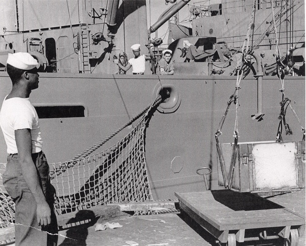
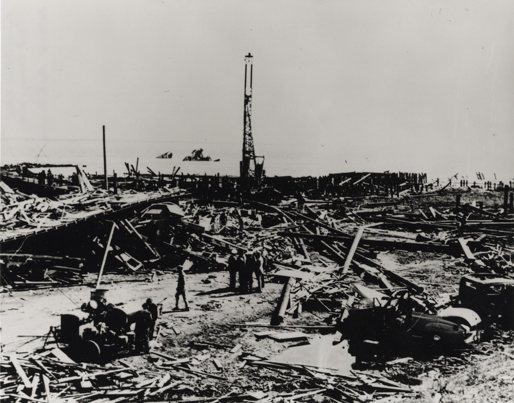
According to the district on the park’s webpage, “NAACP civil rights lawyer and former U.S. Supreme Court Justice, Thurgood Marshall, helped defend the fifty black sailors accused of mutiny after the devasting Port Chicago Naval Magazine blast that killed 320 men, mostly African American, and injured 390 more, on July 17, 1944. It was the largest Homefront disaster of World War II. The military trial took place on Treasure Island in nearby San Francisco Bay from September 14 to October 24, 1944. Although the fifty sailors were found guilty and sentenced to 15 years in prison, Thurgood Marshall’s high-profile appeal paved the way for the desegregation of the entire U.S. military. Marshall went on to argue the landmark case Brown v. Board of Education (1954), which led to school desegregation nationwide, and became the first black U.S. Supreme Court Justice in 1967. The new park land formerly known as the Concord Naval Weapons Station, part of the larger Port Chicago military complex, has been referred to as ‘Concord Hills Regional Park’ during the planning process until a permanent park name is chosen.”
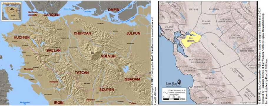
Until this past year, the name being considered for the park was Chupcan Territories Regional Park after the Bay Miwok tribe that occupied the area during the 1700’s. District staff created a video about the history for the naming of the park for Justice Marshall.
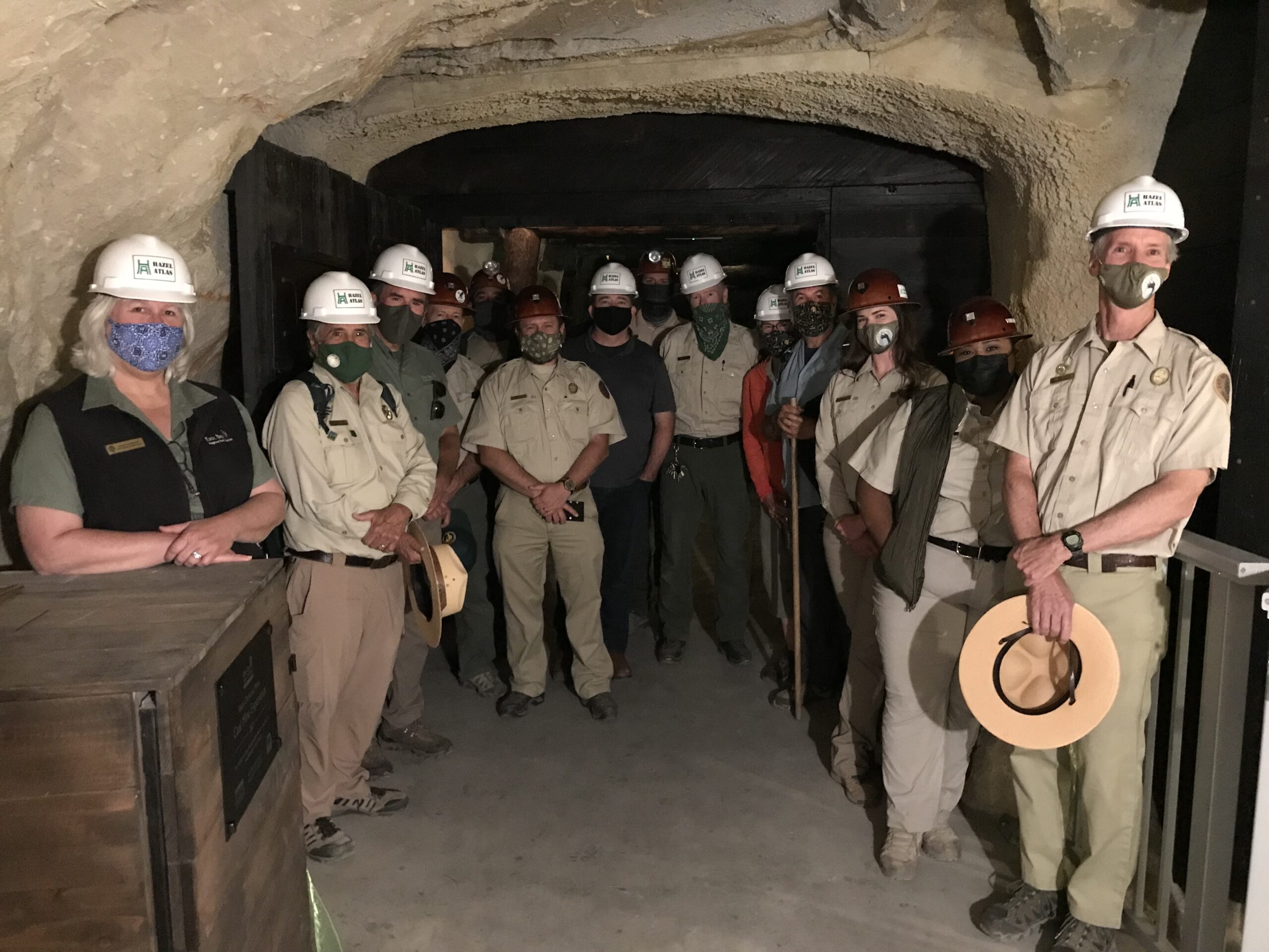
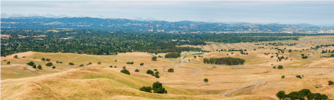
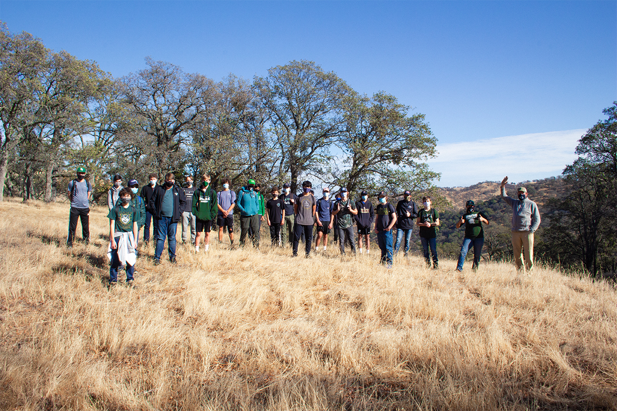
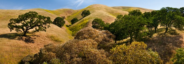
The future Regional Park is in the Los Medanos Hills between Concord and Pittsburg. The 2,500-acre site, along with undeveloped land along this border, forms a greenbelt between the municipalities. The Regional Park site is divided into two sections north and south of Bailey Road.
Both the district’s Executive Committee and the Concord City Council, also acting as the Local Reuse Authority for the former naval base, have expressed their support for naming the park for Marshall. During their meeting Tuesday night May 25, the council voted to send a letter to the park district offering their official endorsement.
In a post on her Twitter feed Wednesday morning, Councilwoman Carlyn Obringer wrote, “Thrilled that my Concord City Council colleagues joined me in officially supporting the naming of the new East Bay Regional Park District here in Concord as the Thurgood Marshall Regional Park – Home of the Port Chicago 50.”
Site History and Timeline
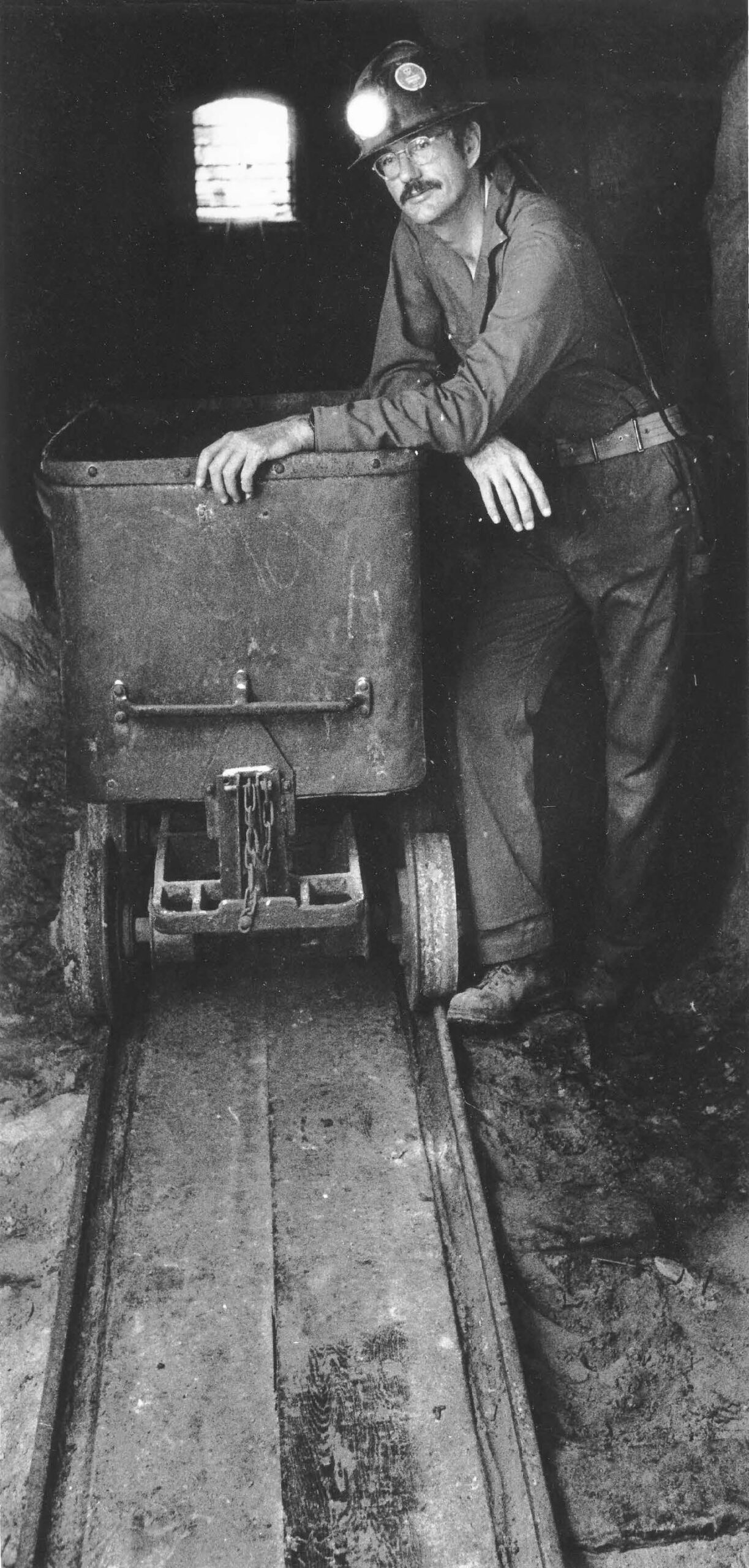
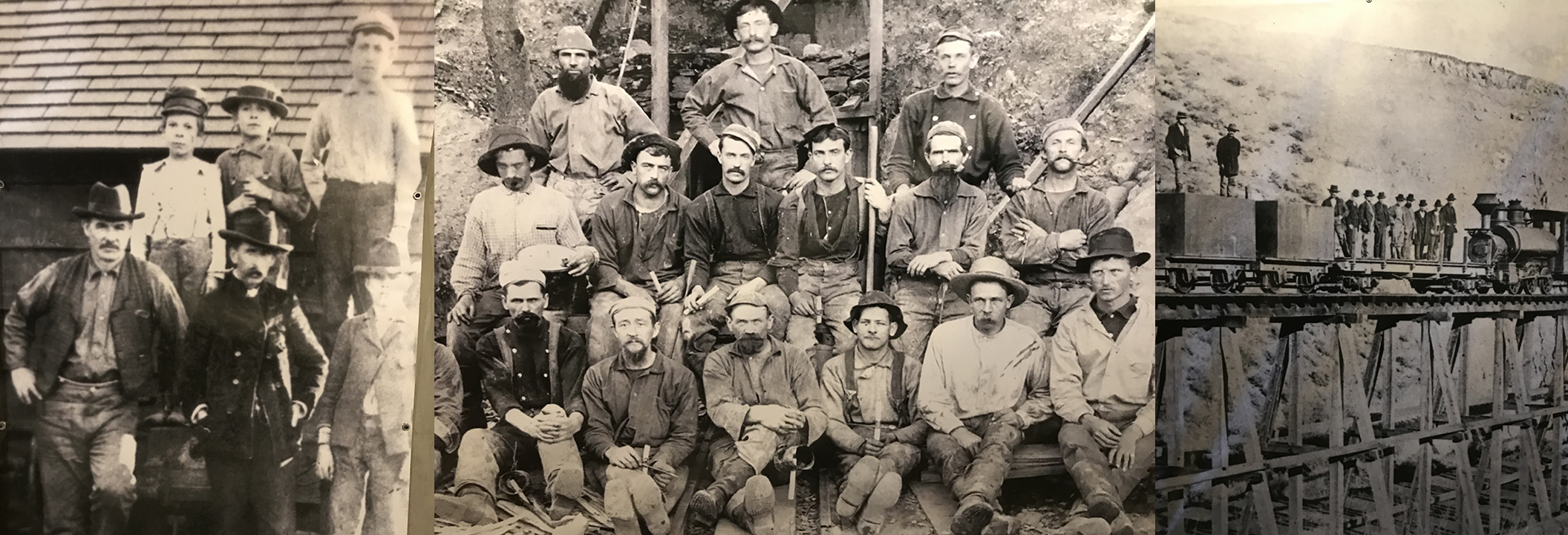
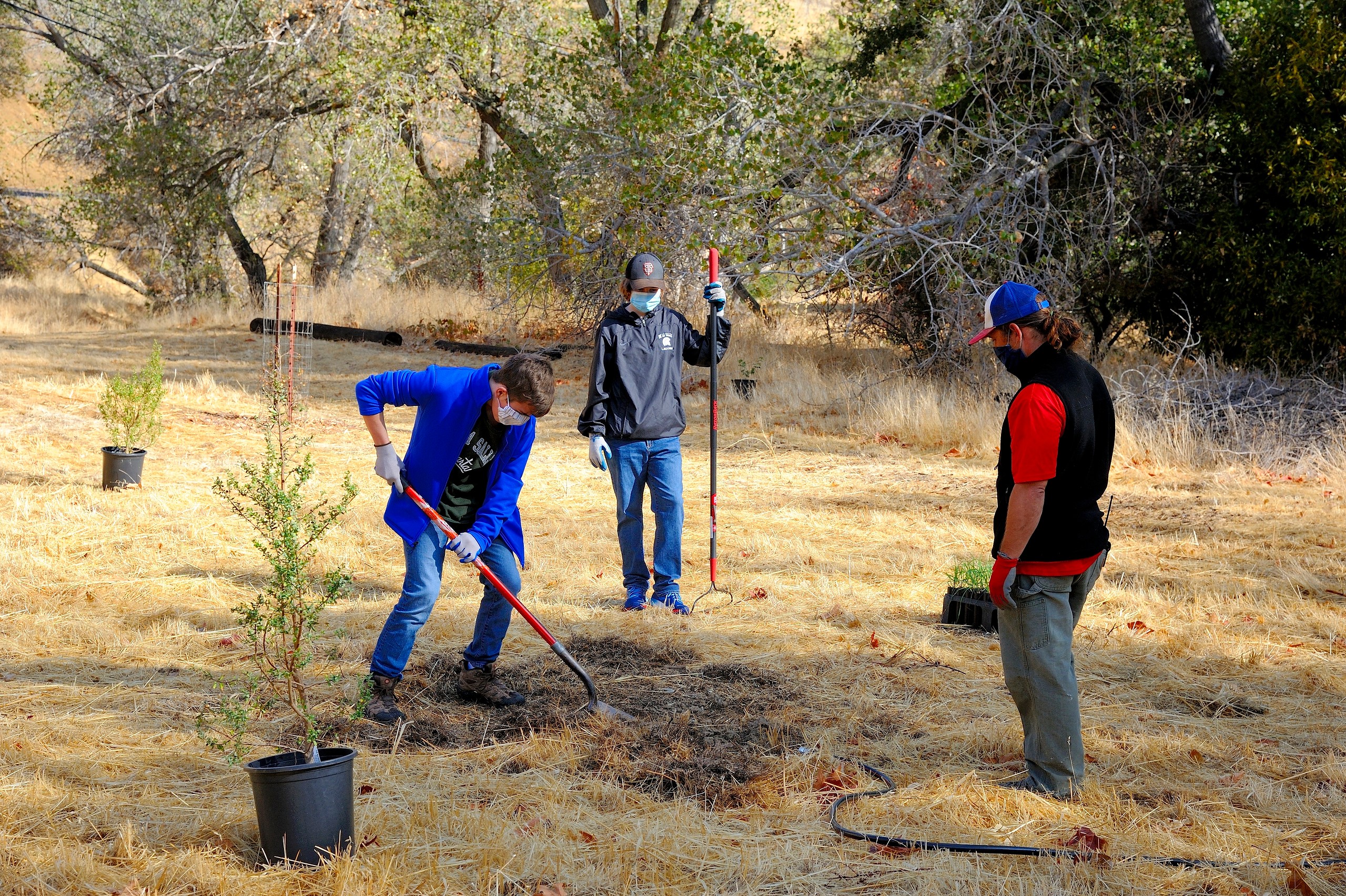
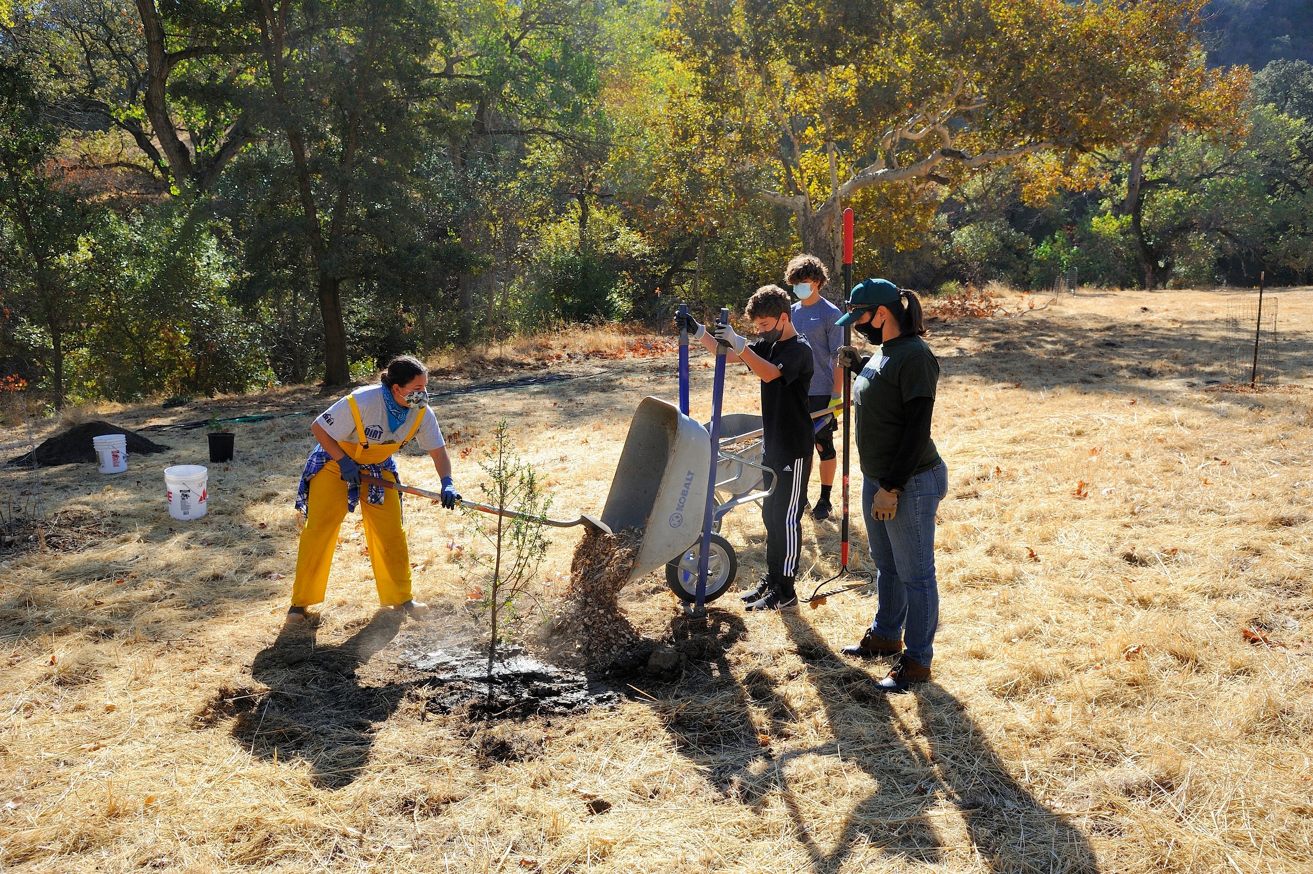
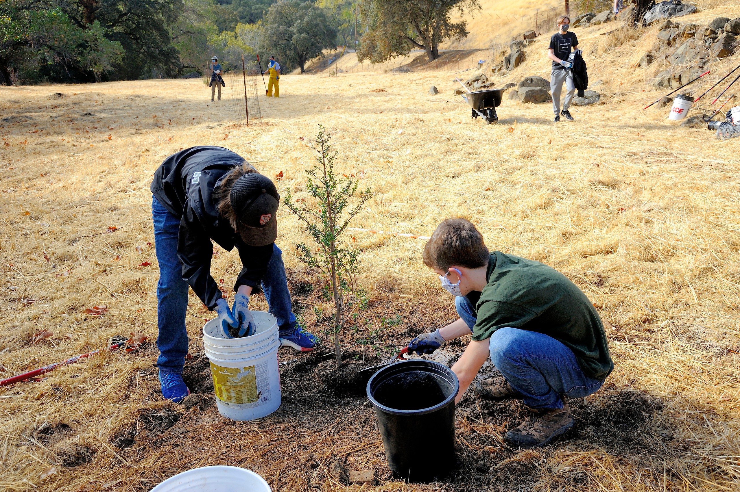
The Concord Naval Weapons Station (CNWS) accommodated the changing needs of its inhabitants and settlers for centuries, including indigenous people, miners, ranchers, and the United State Navy, as well as local wildlife species from grizzly bears to California red-legged frogs. For the last six decades, the property has been used exclusively by the military, limiting public access as well as private development. The CNWS emerged as a prominent part of the East Bay landscape, offering striking grassland and hillside views while contributing to a substantial network of undeveloped open space. CNWS was approved for closure by the Base Realignment and Closure Commission (BRAC) in 2005. In 2012, the Concord City Council adopted the Concord Reuse Project Area Plan and designated the western slopes of the Los Medanos Hills and the adjacent area as the future regional park site. In July 2020, the East Bay Regional Park District adopted a Land Use Plan and an Environmental Impact Report to begin the process of building a future regional park on over 2,500 acres, in partnership with the National Park Service, to serve generations of current and future East Bay residents.
Timeline
- 2021: Board considers permanent name for the future parks at the former Concord Naval Weapons Station
- 2020: EBRPD adopted Concord Hills Land Use Plan – guiding future park development
- 2019: EBRPD accepted possession of future Regional Park site.
- 2010: Pres. Obama established Port Chicago Naval Magazine National Memorial Legislation authorized Jointly operated EBRPD/NPS Visitor Center highlighting Port Chicago history
- 2010: Reuse Plan adopted designating ~2,540 acres of new Regional Park + 12k new homes, 6m sq. ft of commercial, etc.
- 2006: Concord Reuse Project initiated to evaluate reuse of 5,200-acre Inland Area
Board Meeting Information
The June 1st board meeting begins at 1:00 p.m. and the public has the opportunity to offer comments on the naming of the park.
Members of the public can listen and view the meeting in the following way: Via the Park District’s live video stream which can be found at https://youtu.be/dE2RtF1gYqc
Public comments may be submitted one of three ways:
- Via email to Yolande Barial Knight, Clerk of the Board, at ybarial@ebparks.org. Email must contain in the subject line public comments – not on the agenda or public comments – agenda item #. It is preferred that these written comments be submitted by Monday, May 17, 2021 at 3:00 pm.
- Via voicemail at (510) 544-2016. The caller must start the message by stating public comments – not on the agenda or public comments – agenda item # followed by their name and place of residence, followed by their comments. It is preferred that these voicemail comments be submitted by Monday, May 17, 2021 at 3:00 pm.
- Live via zoom. If you would like to make a live public comment during the meeting this option is available through the virtual meeting platform: *Note: this virtual meeting platform link will let you into the https://zoom.us/j/98708891830 virtual meeting for the purpose of providing a public comment. If you do not intend to make a public comment please use the YouTube link at: https://youtu.be/dE2RtF1gYqc to observe the meeting. It is preferred that those requesting to speak during the meeting contact the Clerk of the Board at ybarial@ebparks.org by 3:00 pm on Monday, May 17, 2021 via email or voicemail (510) 544-2016 to provide name and the subject of the public comment or item to be addressed.
Comments received during the meeting and up until the public comment period on the relevant agenda item is closed, will be provided in writing to the Board of Directors, included transcribed voicemails. All comments received by the close of the public comment period will be available after the meeting as supplemental materials and will become part of the official meeting record. If you have any questions please contact Yolande Barial Knight, Clerk of the Board, at ybarial@ebparks.org or (510) 544-2021.