Source: American Discovery Trail Society
By Ders Anderson, Open Lands
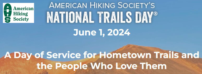
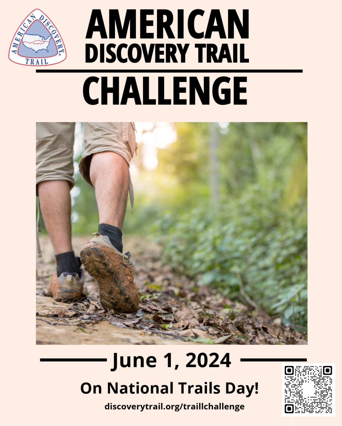
![]() The American Discovery Trail Society announces its second annual trail challenge! In honor of the American Hiking Society’s National Trails Day, June 1, the Challenge is an invite to anyone and everyone living near the 6800-mile American Discovery Trail. (See related article)
The American Discovery Trail Society announces its second annual trail challenge! In honor of the American Hiking Society’s National Trails Day, June 1, the Challenge is an invite to anyone and everyone living near the 6800-mile American Discovery Trail. (See related article)
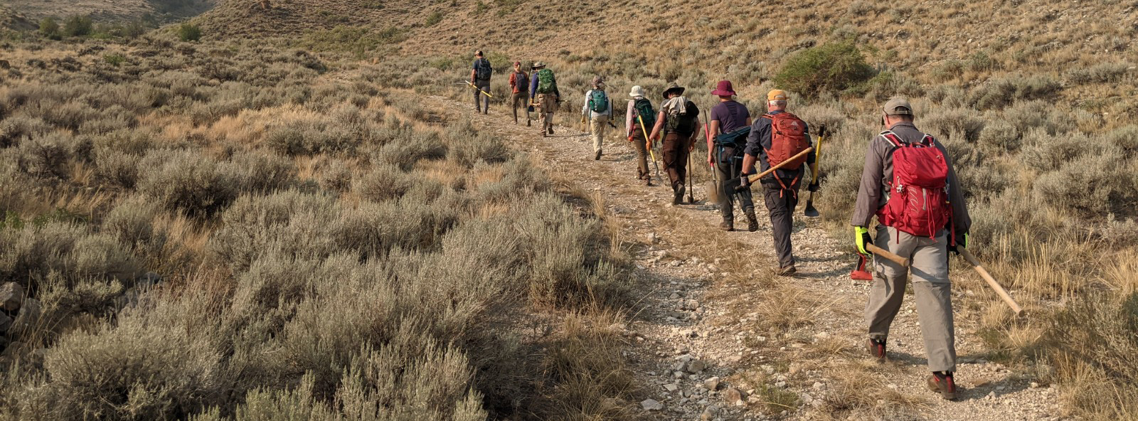
The goal of the Challenge is meant to be a personal one, a trail challenge that hikers, bicyclists, runners, baby stroller pushers, skaters, and wheel-chair users set for themselves. It could be…adding miles to their personal best so far. It could be…enlisting friends who don’t often exercise. It could be… the first time for a family hike. It could be… a distance hike-bike-or run relay with a group of friends. It could be…a first, really-long-distance hike, whether it’s 20, 50 or 500 miles.
Participants are asked to register at https://discoverytrail.org/american-discovery-trail-home/trailchallenge/ where ADT trail access and route info, local trail agency contacts, and general trail use guidance will be available
Think…Outdoors…Healthy Exercise…Fresh Air…Inspiration…America’s Beautiful Landscapes…Participating in a national event with thousands of National Trail Day partners.
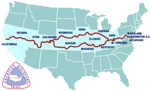
American Discovery Trail map. Source: ADT Society
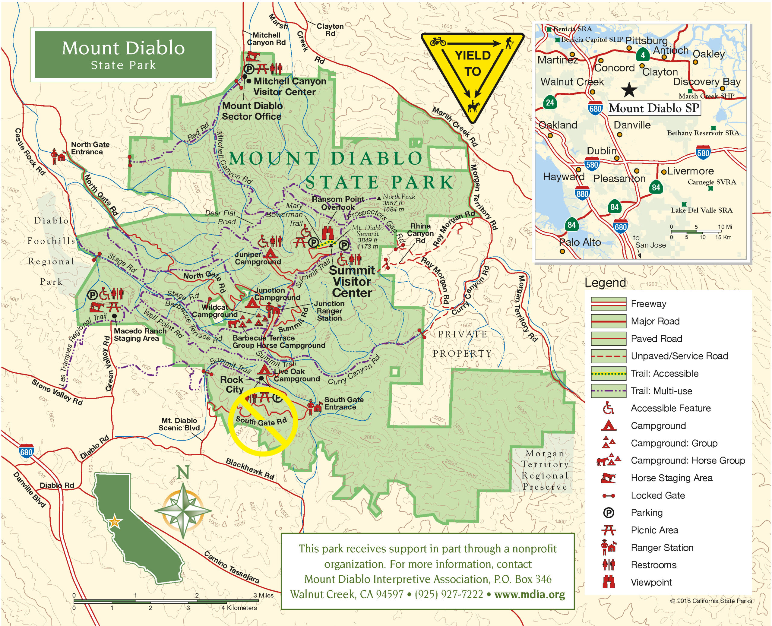
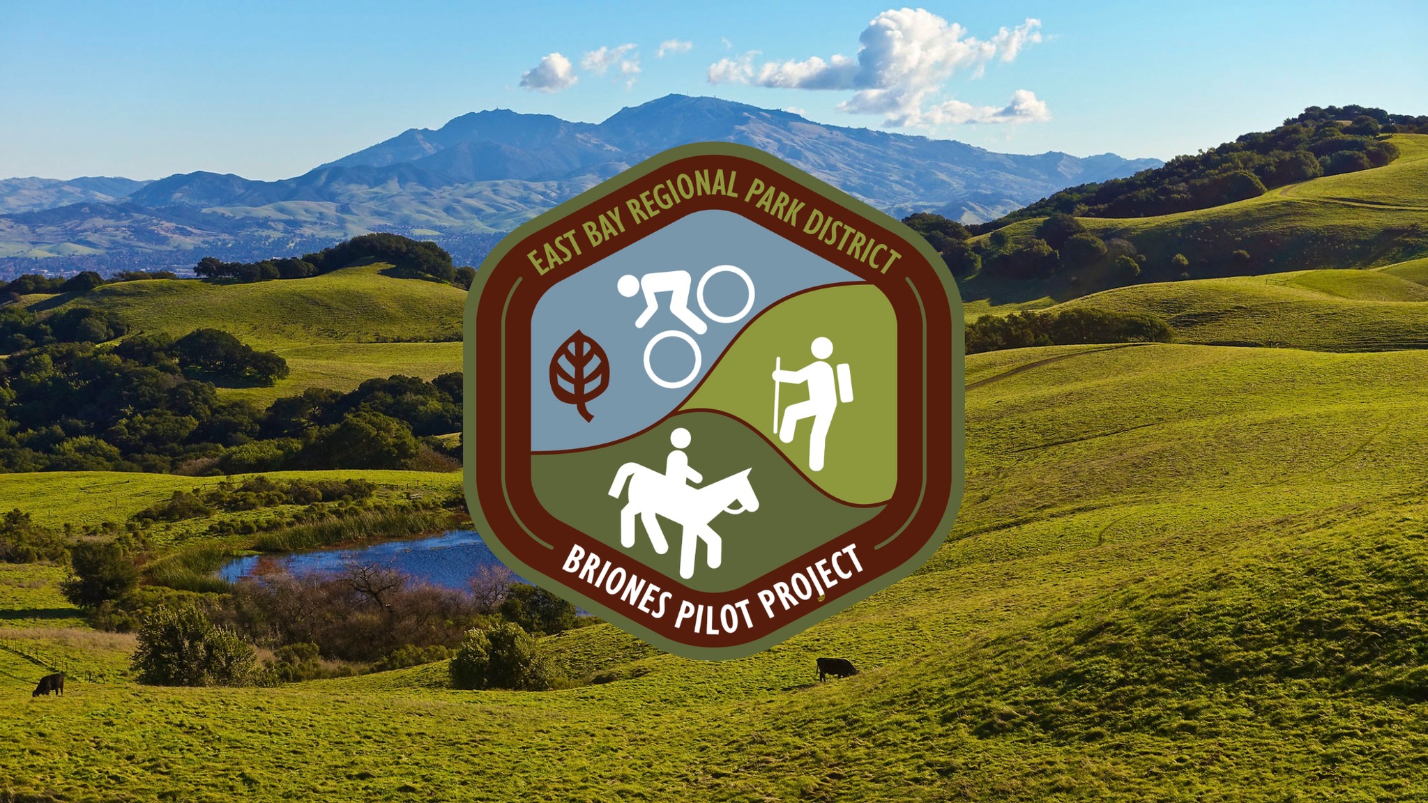
California Trails
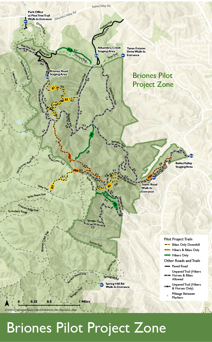
- Briones to Mount Diablo Regional Trail https://www.ebparks.org/trails/interpark/briones-mt-diablo
- SCA Trail (Golden Gate) https://www.parksconservancy.org/trails/sca-trailhttps://www.nps.gov/places/000/sca-trailhead.htm
- Coast Trail (Point Reyes) https://www.nps.gov/places/point-reyes-coast-trailhead.htm
- Tahoe Rim Trail https://tahoerimtrail.org/
- Forest Hill Divide Loop Trail https://www.visitplacer.com/discover/foresthill-divide-loop-trail/
If you participate in the ADT Challenge, the American Discovery Trail Society will report back to the American Hiking Society on the level of participation in the ADT Challenge. National Trails Day (NTD) is an annual event that has been sponsored by the American Hiking Society (AHS) for the past 31 years. Your experience will be added to this years’ overall NTD national participation. In 2022, over 125,000 people participated in National Trails Day.
About ADT
The American Discovery Trail (ADT) is the nation’s first coast-to-coast, non-motorized recreation trail. The ADT was conceived in 1989 and initially led by the American Hiking Society. In 1996 the ADT Society (ADTS) was created and has been the prime advocate for the completing a continuous trail across the United States. The ADTS considers it the east-west “backbone” of our country’s national trails system, connecting to the Appalachian Trail, Pacific Crest Trail, East Coast Greenway Trail and 50 other national scenic, historic and recreational trails. In the Midwest, two options are possible: either thru Iowa and Nebraska, and northern Illinois and Indiana, or through Missouri and Kansas and southern Illinois and Indiana.