Source: Caltrans
By Caltrans
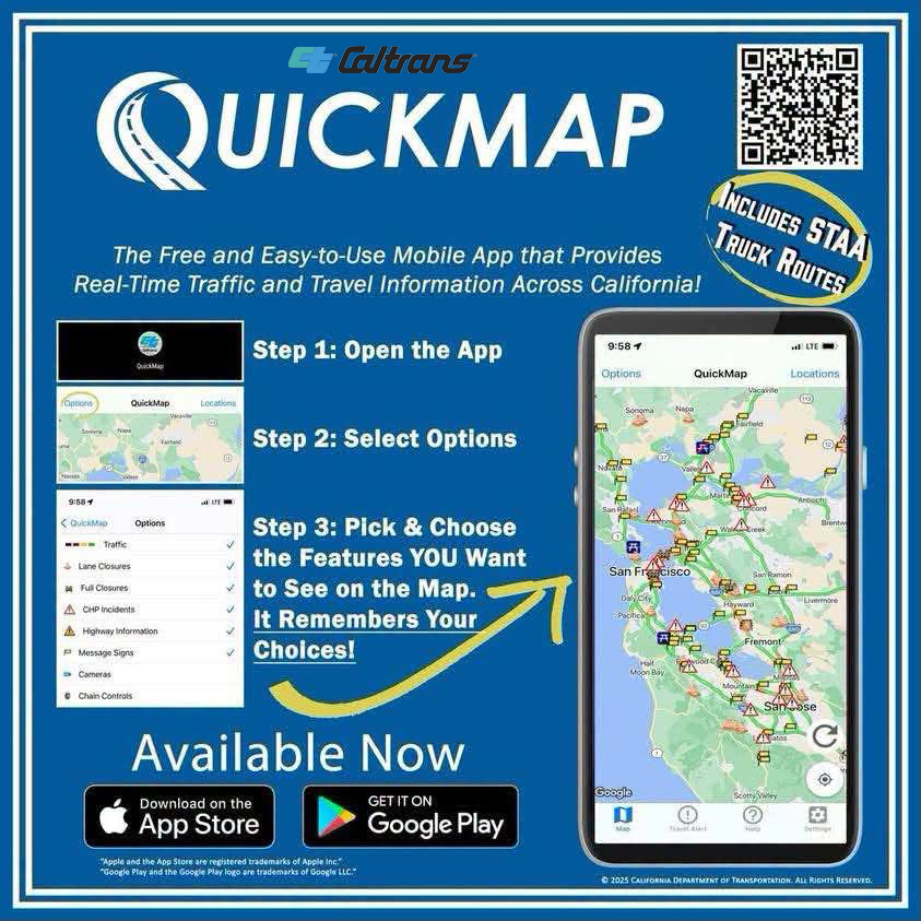
The Caltrans QuickMap is a free mobile app from the California Department of Transportation that delivers real‑time traffic, road, and safety information directly from Caltrans, helping drivers plan trips, avoid delays, and stay informed on the road App Store.
What the app offers
The QuickMap app layers multiple live data sources onto a map, including App Store+1:
- Freeway speeds and congestion (color‑coded lines; green = normal, red = slow)
- Live traffic cameras and snapshots
- Lane closures and CHP incidents
- Chain controls and snow plows
- Changeable message signs (CMS) content
- Border wait times
- Safety roadside rest areas and Park & Ride lots
- Commercial vehicle info: weigh stations, escape ramps, overweight corridors, and California Truck Network routes
Key features
- Auto‑refresh: Updates data every 3 minutes (adjustable in settings) App Store
- Manual refresh: Available via the refresh button on the map
- Geotargeted notifications: Optional push alerts for road closures near your location, even when the app is closed (requires background location; may impact battery life) App Store
- Layer controls: Toggle on/off different data layers via the app’s menu QuickMap
How it works
The app uses Caltrans data plus other sources (e.g., Google Maps Traffic Layer, Automated Vehicle Location, cellular data) to provide speed and condition information QuickMap. Clicking a map marker shows detailed info in a pop‑up.
Access and support
- iOS: Download on the App Store App Store
- Web: QuickMap portal QuickMap
- Support: Email quickmap@dot.ca.gov for questions or issues App Store
Tip: Enable geotargeted notifications if you want alerts for closures near you, but be aware of the battery impact App Store. This makes QuickMap a useful “know before you go” tool for both urban and rural California travel.
Leave a Reply